Cape Cod Guide & Vacation Planner
KIDS! Cape Cod Beaches Spa Locator Golf Mini Golf Weather & Tides Traffic Transportation Wifi Movies Fishing & Boating
Shopping Vacation Planner Lodging & Accommodations Restaurants Ice Cream Nightlife Biking Walking Trails

Location: Chatham | Falmouth | Hyannis | Martha's Vineyard | Nantucket | Provincetown | All Cape and Islands Waterways

Weather

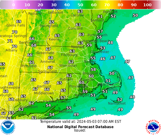
Please wait while your browser fetches the current weather. This may take a couple of seconds.

Cape Cod weather is provided by CapeGuide.com.

Add the weather to your Web site.

Tides

Please wait while your browser fetches the tides and currents. This may take a couple of seconds.

Cape Cod tides and currents are provided by CapeTides.com. Visit CapeGuide.com for information about Cape Cod, Martha's Vineyard, & Nantucket.

Add the tides to your Web site.

Forecast

The following is the 7 day weather and marine forecast for the Provincetown, MA area. This Information was last updated Thursday, April 2024 at 10:12 AM. These forecasts are provided by NOAA.

Thursday - April 18

Mostly Cloudy

Mostly Cloudy
Low: 41 ºF
High: 49 ºF

Marine forcast for Thursday Night
Winds from the East. 10 to 15 knots. Gusts up to 20 knots this evening. Seas 3 to 4 feet. Wave detail: East 2 feet at 4 seconds and South 2 feet at 7 seconds. A slight chance of showers after midnight.

Friday - April 19

Chance Rain Showers

Chance Rain Showers
Low: 45 ºF
High: 52 ºF

Marine forcast for Friday
Winds from the East. 10 to 15 knots. Seas 3 to 4 feet. Wave detail: East 2 feet at 5 seconds and East 2 feet at 11 seconds.
Marine forcast for Friday Night
Winds from the South East. 5 to 10 knots. Seas 3 to 4 feet. Wave detail: South East 4 feet at 5 seconds and East 2 feet at 11 seconds. Patchy fog after midnight. A chance of showers after midnight with visibility 1 to 3 nautical miles.

Saturday - April 20

Chance Rain Showers

Chance Rain Showers
Low: 44 ºF
High: 58 ºF

Marine forcast for Saturday
Winds from the South West. 5 to 10 knots. Seas 2 to 3 feet. Wave detail: South 3 feet at 4 seconds and East 2 feet at 11 seconds. Showers likely, mainly in the morning. Patchy fog in the morning with visibility 1 to 3 nautical miles.
Marine forcast for Saturday Night
Winds from the West. 10 to 15 knots. Gusts up to 20 knots after midnight. Seas 2 to 4 feet. Wave detail: North West 3 feet at 4 seconds and South East 3 feet at 6 seconds. A chance of showers in the evening.

Sunday - April 21

Partly Sunny

Partly Sunny
Low: 43 ºF
High: 55 ºF

Marine forcast for Sunday
Winds from the West. 10 to 15 knots with gusts up to 25 knots. Seas 2 to 4 feet. Wave detail: North West 3 feet at 4 seconds and South East 2 feet at 6 seconds.

Monday - April 22

Mostly Sunny

Mostly Sunny
Low: 44 ºF
High: 56 ºF

Marine forcast for Monday
Winds from the South. 10 to 15 knots with gusts up to 25 knots. Seas 2 to 4 feet.

Tuesday - April 23

Slight Chance Rain Showers

Slight Chance Rain Showers
Low: 45 ºF
High: 55 ºF

Wednesday - April 24

Chance Rain Showers

Chance Rain Showers
Low: na
High: 54 ºF

Seas are reported as significant wave height, which is the average of the highest third of the waves. Individual wave heights may be more than twice the significant wave height.

Local Radar

Current Temperatures

surf report © magicseaweed.com


KIDS! Beaches Spas Golf Mini Golf Weather & Tides Traffic Transportation Wifi Movies Fishing & Boating
Shopping Lodging Restaurants Ice Cream Nightlife Biking Walking Trails Cape Cod Guide
Cape Cod Business Directory | Cape Cod Events | Cape Cod Tides
Links | Privacy Policy | Contact Us